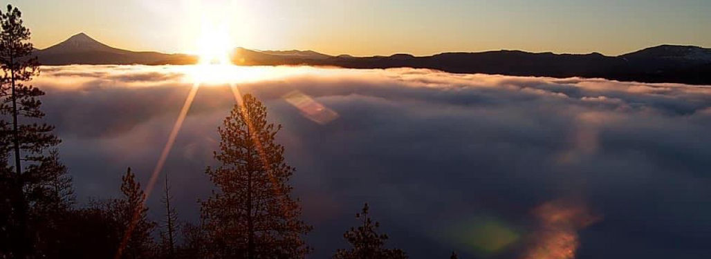
How far can you go? Challenge yourself on this course with constant views of the Rogue Valley and peaks of the Volcanic Legacy Byway. Run high above the Rogue Valley on our closed course.
The route consists of a 2.6 mile loop that includes ~240' of gain and loss. From the upper Prescott Park parking area, the course follows the loop road that circumnavigates Roxy Ann Peak (an ancient volcano). The first .8 miles of the loop is gently undulating paved road. As it changes to gravel you climb more quickly before descending more gradually to the start. Along the way you will experience a 360-degree panorama of the Rogue Valley and surrounding mountains. Mt. Ashland, Mt. Shasta, Mt. McLoughlin, the Three Sisters, Mt. Thielsen, and the Table Rocks can all be seen from different places on the mountain. After 3 hours you change direction, and change back every 3 hours.
Results
| Date |
Finishers |
Top Result (M) |
Top Result (F) |
| 10/28/23 |
Race Cancelled
|
|
10/29/22
|
11 |
100.7
|
76.85
|
| Date |
Finishers |
Top Result (M) |
Top Result (F) |
| 10/28/23 |
Race Cancelled
|
|
10/29/22
|
9 |
60.95
|
55.65
|
| Date |
Finishers |
Top Result (M) |
Top Result (F) |
| 10/28/23 |
Race Cancelled
|
|
10/29/22
|
4 |
37.1
|
34.45
|
Latest articles from UltraRunning Magazine


